
blah blah blah
The Potholes Ledge
Length: 2.0 miles out-and-backDifficulty (click for info): Easy
Elevation Gain: 800 feet
Rating (click for info): 6/10
Elevation: 3740'
Prominence: 5'
Driving Directions:
Trailhead and parking area are on Jefferson Notch Road, in Thompson and Meserve's Purchase, NH. To get there, take Base Station Road (sign for the Cog Railway) from the east side of Rt. 302, 4.4 miles east of Rt. 3. Base Station Road (sign for the Cog Railway) leaves Rt. 302 4.4 miles east of Rt. 3. Drive 4.4 miles up the road and turn left onto Jefferson Notch Road (look for a four-way intersection with dirt roads on the right and left). The parking area is 3.2 miles up this steep, winding dirt road.
About the Hike:
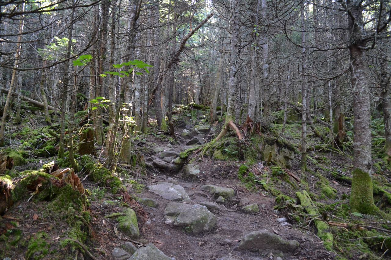
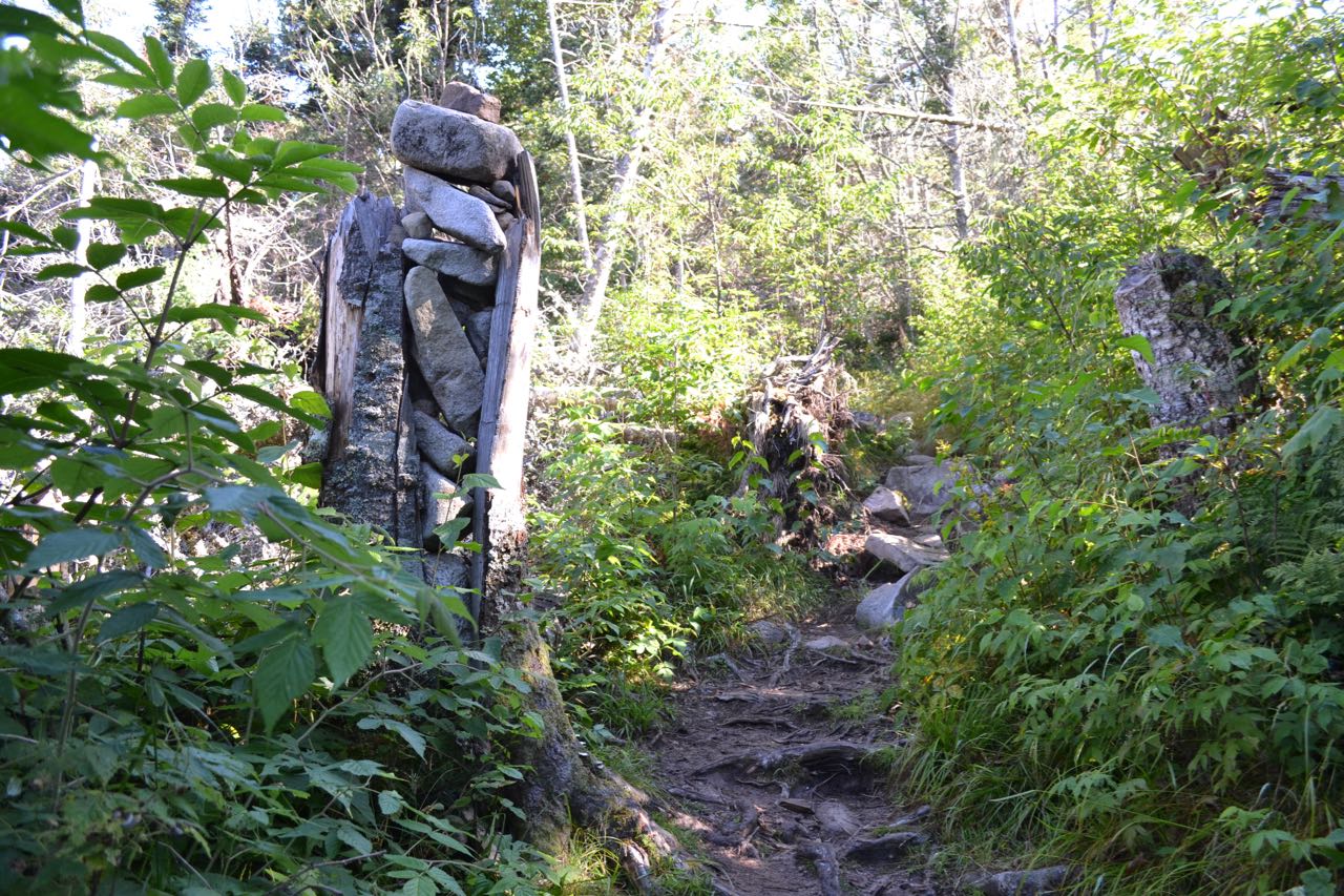
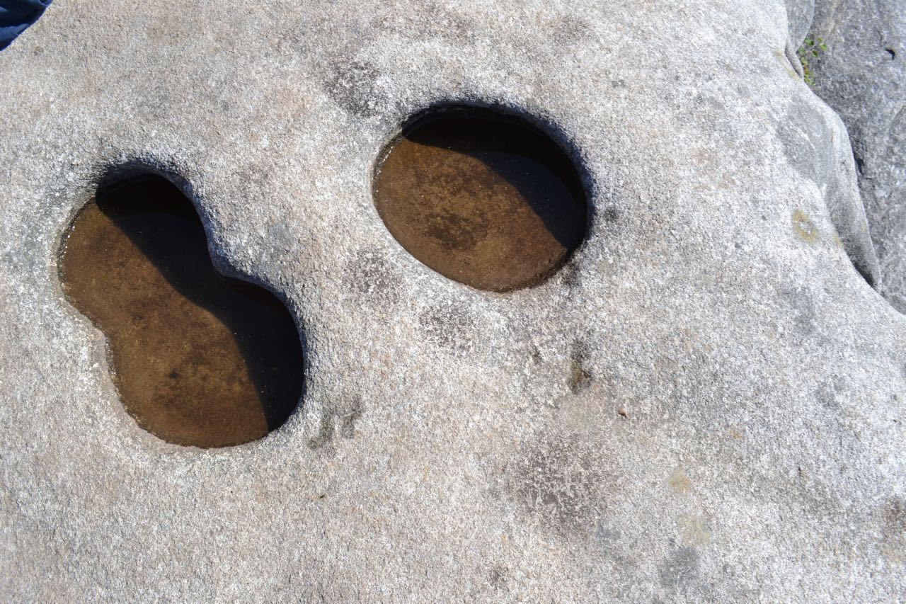
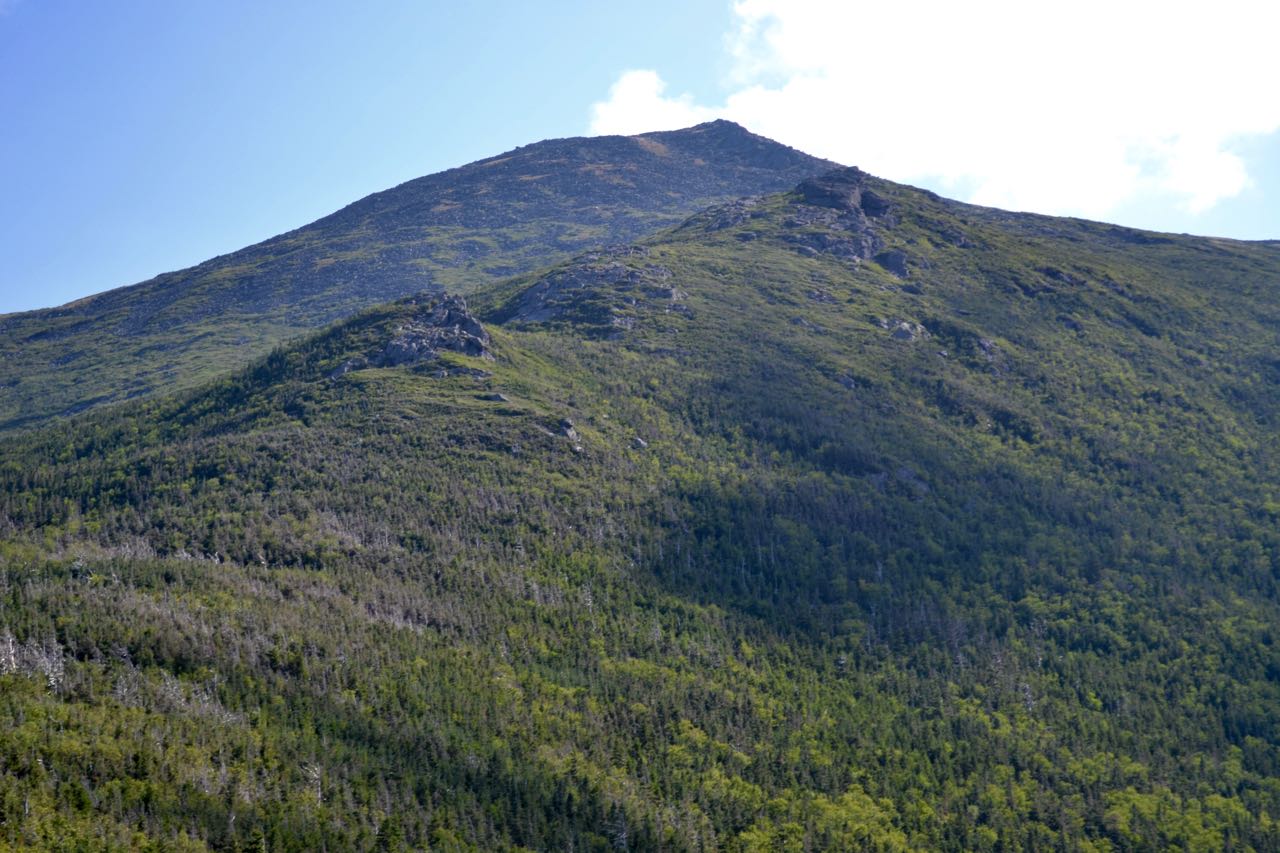
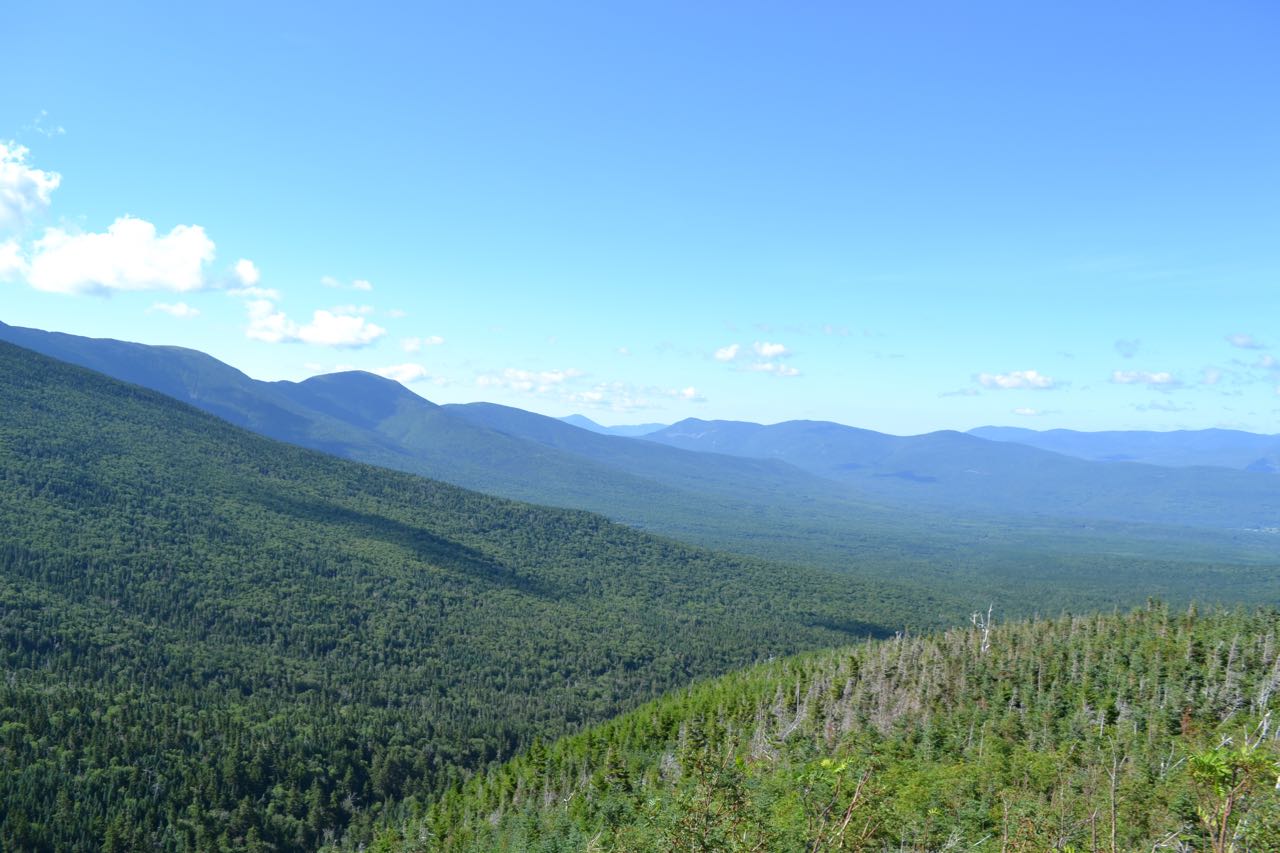
This nameless ledge viewpoint one mile up the Caps Ridge Trail to Mt. Jefferson is usually not thought of as a hiking destination on its own, but it provides a great view for moderate effort. The trail begins at Jefferson Notch, the highest (public) road-accessible point in the White Mountains. The trail heads into the woods, passes through a marshy area on bog bridges, and begins to climb gradually. After about 0.3 miles, the trail becomes steeper, and for the next 0.7 miles, it ascends moderately through a long chain of blowdown patches. It then reaches a small opening, where you must climb up to the top of the destination ledge for the view. The ledge itself is covered with bizarre circular indentations, known as "The Potholes". To the east, the Ridge of the Caps, the lower part of which you have climbed to get here, rises past the sharp, rocky Caps to lofty Mt. Jefferson. To the southeast, you look up to Mt. Clay. Below and between the two are ravines of three branches of Clay Brook. To the south, Mt. Monroe peeks over Clay's west ridge. To the right, down the Southern Presidentials ridge are Mt. Franklin, Mt. Eisenhower, and Mt. Pierce. In the distance to the right of Pierce are Mts. Carrigain and Hancock. Next over, and closer, is the Willey Range: Mts. Willey, Field, and Tom. To the west, in the distance, is the Twin Range, with the Little River Mountains in front. Closest to you is the minor Rosebrook Range, identified by the Bretton Woods Ski Area.
Printable directions page